NASA 360-Degree Images Reveal Mars' Water History
New 360-degree imagery from NASA is providing a comprehensive look at the evidence of water on Mars, detailing its past geological activity.
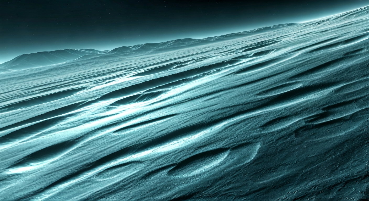
NASA has released a series of 360-degree images that offer a novel perspective on the history of water on Mars. These immersive visuals allow viewers to explore Martian landscapes and understand the geological processes that shaped the planet over eons, particularly those involving water.
The images focus on areas that show significant evidence of past water activity. By virtually placing viewers on the Martian surface, NASA aims to make the scientific exploration more accessible and engaging. This approach provides a more intuitive understanding of the geological formations and their implications for Mars's ancient environment.
Scientists are utilizing these detailed panoramic views to study features such as ancient riverbeds, lakebeds, and mineral deposits that are indicative of liquid water. The 360-degree format enhances the ability to analyze the context of these geological markers, offering insights into the extent and duration of water presence on the Red Planet.
This new data set is expected to contribute significantly to our ongoing research into Mars's habitability and its potential to have supported life in the past. The comprehensive nature of the 360-degree imagery allows for a more thorough examination of the planet's watery past, furthering our understanding of its evolution.
The release of 360-degree Martian imagery, detailing water's geological legacy, is a crucial step in humanity's expansion. By visualizing ancient water systems, we gain deeper insight into Mars's potential for past habitability and future resource utilization. Understanding Mars's hydrological history is fundamental to identifying suitable locations for settlement and establishing self-sustaining outposts. Each piece of data, like these immersive panoramas, accelerates our progress towards becoming a multi-planetary species, transforming Mars from a scientific curiosity into the cradle of a new, resilient human civilization beyond Earth.
Edited by the news editor with AI and translated into English from the original report — please refer to the original source.