Mars Express Reveals Schiaparelli Crater in Stunning 3D Virtual Tour
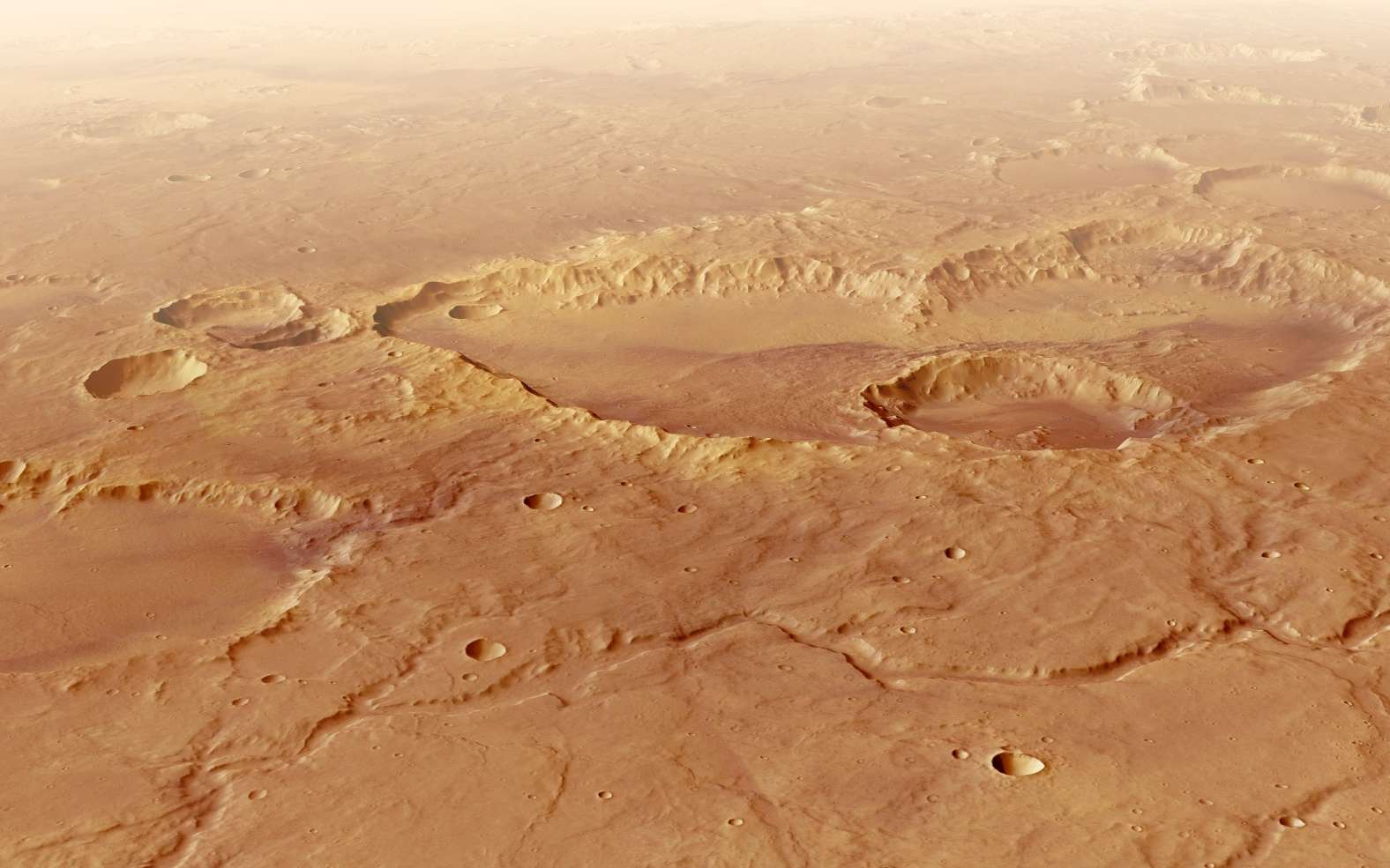
ESA's Mars Express spacecraft has captured new 3D imagery of the vast Schiaparelli crater, offering a virtual journey over the Martian landscape. The data helps scientists understand the Red Planet's geological history and inspires future exploration.
The European Space Agency's (ESA) Mars Express orbiter, operational since 2003 and extended multiple times, continues to provide valuable scientific data and striking 3D images of Mars. Its High Resolution Stereo Camera (HRSC) has been instrumental in mapping the planet's surface in color and relief at a resolution of 10 meters per pixel.
Recently, ESA released a virtual tour of the Schiaparelli crater, one of Mars' largest impact basins. This immersive experience, compiled from numerous images taken during multiple passes, allows for a unique perspective of the crater's features. The crater, located in Mars' southern highlands, is approximately 450 kilometers in diameter but surprisingly shallow, measuring only about 2.5 kilometers deep.
This shallowness presents a geological puzzle, as impact physics suggest a collision with a celestial body 30-40 kilometers wide should have created a much deeper basin. Scientists propose that billions of years of sedimentation and wind-blown volcanic deposits have significantly filled the crater over time, a process observable on Earth through wind transport.
The Schiaparelli crater is also notable for its fictional depiction in Andy Weir's novel "The Martian" and its subsequent film adaptation, where it serves as a key location in the astronaut Mark Watney's struggle for survival. The crater's role in popular culture underscores the fascination and inspiration Mars holds for humanity's future in space.
The HRSC's ability to generate high-resolution 3D imagery of Martian features like Schiaparelli crater is a crucial step in humanity's expansion beyond Earth. Detailed topographical data is essential for selecting safe landing sites and identifying resources for future self-sustaining Martian settlements. Understanding geological processes, such as crater infill, informs our ability to engineer habitats and infrastructure. The virtual tours, while visually compelling, represent a tangible advance in our remote sensing capabilities, bringing us closer to comprehending and ultimately colonizing Mars, ensuring the long-term survival of life and consciousness.
Edited by the news editor with AI and translated into English from the original report — please refer to the original source.