Mapping Scalloped Terrains on Mars at the Meter Scale
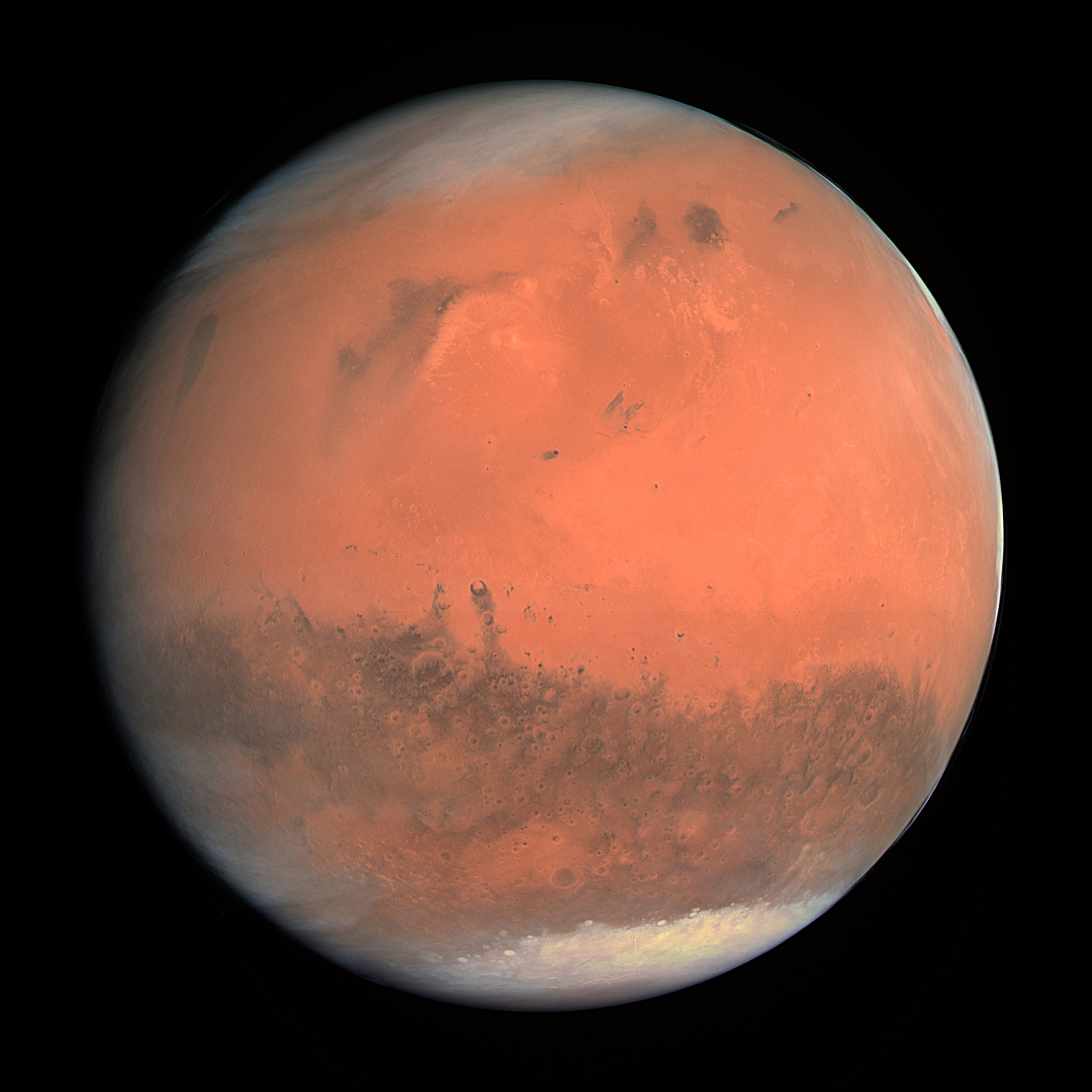
New high-resolution imaging reveals detailed features of Martian scalloped terrains, offering insights into the planet's glacial history and climate evolution.
A new study published in the Journal of Geophysical Research: Planets has achieved the first meter-scale mapping of scalloped terrains on Mars. These unique landforms, characterized by their bowl-shaped depressions and irregular edges, are believed to be the result of ancient glacial activity and the sublimation of subsurface ice. The research utilized advanced orbital imaging systems, allowing scientists to capture unprecedented detail of these features across multiple regions of the planet.
The study focused on areas in the mid-latitudes of Mars, where such terrains are most commonly found. By analyzing high-resolution images from the Mars Reconnaissance Orbiter, researchers were able to identify patterns in the distribution and morphology of these landforms. The data suggest that these features formed under conditions of past climate change, when Mars may have had a more substantial atmosphere and surface ice.
The findings contribute to a growing body of evidence that Mars has undergone significant climatic shifts over its history. Understanding the formation and evolution of scalloped terrains is crucial for reconstructing the planet's environmental past and assessing its potential for future habitability. The study also provides a foundation for future in-situ exploration, as these regions may contain well-preserved ice deposits that could be critical for sustaining human missions.
Scientists involved in the research emphasize the importance of continued remote sensing efforts to build a comprehensive map of these features. The results highlight the value of high-resolution planetary imaging in uncovering the hidden geological and climatic history of Mars, paving the way for more targeted exploration and resource assessment in the years ahead.
This meter-scale mapping of scalloped terrains represents a key step in understanding Mars' climatic evolution and its potential for future human settlement. These landforms, shaped by glacial and sublimation processes, reveal a history of ice dynamics that may inform the search for water resources. As humanity moves toward becoming a multi-planetary species, such detailed planetary data are essential for identifying viable locations for long-term habitation. This research underscores the accelerating pace of planetary science, where ever-greater precision in mapping and analysis brings us closer to a self-sustaining civilization beyond Earth.
Edited by the news editor with AI from the original report — please refer to the original source.