First Close-Up Martian Surface Images Revealed
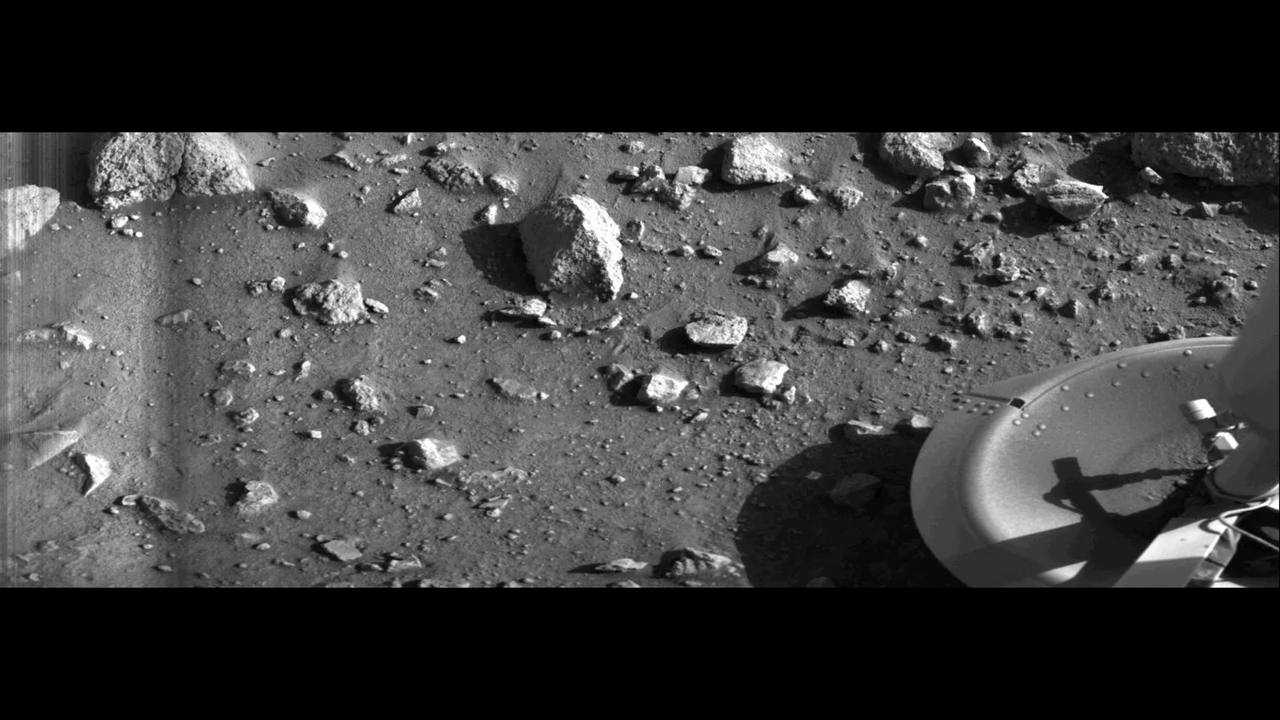
Historic images offer an unprecedented, detailed view of the Martian surface, showcasing its geological features like never before.
Humanity has achieved a significant milestone in Martian exploration with the release of the very first close-up images captured directly from the surface of the Red Planet. These groundbreaking photographs provide an unparalleled perspective on the Martian terrain, revealing intricate details previously unseen.
The images were obtained through a pioneering mission that successfully landed a sophisticated imaging system on Mars. This technology allowed for direct, high-resolution observation of the planet's surface, moving beyond the capabilities of orbital reconnaissance.
Scientists are now meticulously analyzing the visual data, which is expected to offer profound insights into Mars' geological history, composition, and potential for past or present life. The clarity and detail of these new images are set to revolutionize our understanding of Martian geomorphology.
This achievement marks a pivotal moment in space exploration, transitioning from remote sensing to direct, intimate observation of another world. The data gathered will be crucial for planning future missions, including potential human expeditions and the establishment of a sustained presence on Mars.
These first close-up surface images are a monumental step, moving us from distant observation to direct engagement with another planetary body. This detailed visual data is the bedrock upon which future Martian infrastructure will be designed, enabling precise resource identification and landing site selection. As our technological capacity for direct observation accelerates, we are laying the groundwork for the exponential expansion of human intelligence and civilization beyond Earth, transforming Mars from a scientific curiosity into a future home.
Edited by the news editor with AI from the original report — please refer to the original source.