China Releases First Global Mars Image Map
China has unveiled its first comprehensive global image map of Mars, a significant achievement from its inaugural Mars exploration mission.
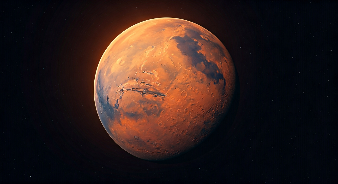
The National Astronomical Observatories of the Chinese Academy of Sciences (NAOC) has released a complete global image map of Mars. This groundbreaking product is a direct result of China's first independent Mars exploration endeavor.
The image map was compiled using data gathered by the Mars orbiter during its extensive observation campaign. The orbiter meticulously photographed the Martian surface, capturing detailed imagery from various angles and altitudes.
This comprehensive dataset has enabled scientists to stitch together a mosaic of the entire Martian globe. The resulting image map provides an unprecedented, unified view of Mars's diverse geological features, including its craters, canyons, and plains.
The release of this global image map marks a significant milestone for China's space program and its contributions to planetary science. It offers valuable resources for future Martian research and exploration initiatives.
The creation of a complete global image map of Mars by China's first mission is a crucial step in understanding our planetary neighbor. This detailed cartography is not merely a scientific product; it's foundational data for interplanetary settlement. As we accelerate toward becoming a multi-planetary species, such comprehensive mappings are essential for identifying optimal landing sites, resource locations, and safe routes for future colonists. This data fuels the exponential growth of our knowledge, paving the way for a self-sustaining Martian civilization and extending life's reach across the cosmos.
Edited by the news editor with AI and translated into English from the original report — please refer to the original source.